How the crowd draws
1,309 drawings of its land border and 885 drawings of its coast, from memory on Borderline’s World map, 17 September 2026 to 27 October 2026.
In numbers
| The real one | The crowd’s | |
|---|---|---|
| Area | 546,000 km²211,000 sq mi | 534,000 km²206,000 sq mi↓2.1% smaller |
| Outline | 6,201 km3,853 mi | 5,187 km3,223 mi↓16.3% shorter |
| Centre | 2.57° E, 46.51° N2.6° E, 46.5° N | 2.48° E, 46.53° N2.5° E, 46.5° N←8 km west5 mi west |
| Westernmost | 4.78° W, 48.43° N4.8° W, 48.4° N | 4.68° W, 48.41° N4.7° W, 48.4° N→8 km short5 mi short |
| Easternmost | 9.56° E, 42.29° N9.6° E, 42.3° N | 9.43° E, 42.15° N9.4° E, 42.2° N←11 km short7 mi short |
| Southernmost | 9.20° E, 41.37° N9.2° E, 41.4° N | 9.06° E, 41.50° N9.1° E, 41.5° N↑14 km short9 mi short |
| Northernmost | 2.46° E, 51.07° N2.5° E, 51.1° N | 2.44° E, 51.02° N2.4° E, 51.0° N↓5 km short3 mi short |
Near the land border, 68% of the crowd’s lines run inside France. Near the coast, 47% run inland.
Borders and coast
| Border with | In the game | The crowd’s |
|---|---|---|
| Spain | 482 km in the game646 km officially | 479 km the crowd’s↓0.6% shorter |
| Switzerland | 404 km in the game525 km officially | 446 km the crowd’s↑10.4% longer |
| Belgium | 399 km in the game556 km officially | 349 km the crowd’s↓12.5% shorter |
| Italy | 358 km in the game476 km officially | 374 km the crowd’s↑4.5% longer |
| Germany | 326 km in the game418 km officially | 295 km the crowd’s↓9.5% shorter |
| Luxembourg | 51 km in the game69 km officially | 53 km the crowd’s↑3.9% longer |
| Andorra | 41 km in the game | 48 km the crowd’s↑17.1% longer |
| The coast | 4,528 km in the game3,427 km officially | 3,364 km the crowd’s↓25.7% shorter |
Departments of France
100 departments, 40 with a page- DrawAin17 of 25 drawings needed
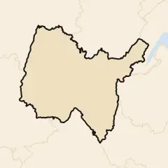 Not enough drawings yet
- DrawAisne13 of 25 drawings needed
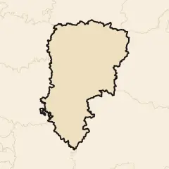 Not enough drawings yet
- DrawAllier21 of 25 drawings needed
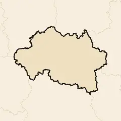 Not enough drawings yet
- DrawAlpes-de-Haute-Provence6 of 25 drawings needed
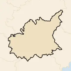 Not enough drawings yet
- Draw
 Alpes-Maritimes1.8% bigger · 81 drawings
- Draw
 Ardèche2.1% smaller · 26 drawings
- DrawArdennes10 of 25 drawings needed
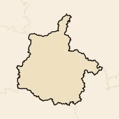 Not enough drawings yet
- DrawAriège17 of 25 drawings needed
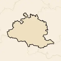 Not enough drawings yet
- Draw
 Aube2.0% smaller · 27 drawings
- Draw
 Aude9.4% smaller · 68 drawings
- Draw
 Aveyron4.7% smaller · 29 drawings
- DrawBas-Rhin21 of 25 drawings needed
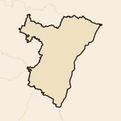 Not enough drawings yet
- Draw
 Bouches-du-Rhône1.7% smaller · 70 drawings
- Draw
 Calvados1.7% bigger · 83 drawings
- DrawCantal21 of 25 drawings needed
 Not enough drawings yet
- DrawCharente8 of 25 drawings needed
 Not enough drawings yet
- Draw
 Charente-Maritime13.0% smaller · 63 drawings
- DrawCher23 of 25 drawings needed
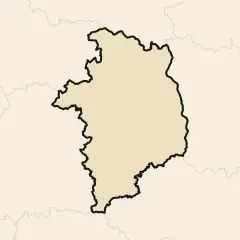 Not enough drawings yet
- DrawCorrèze20 of 25 drawings needed
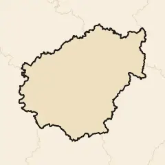 Not enough drawings yet
- Draw
 Corse9.8% smaller · 97 drawings
- DrawCôte-d'Or16 of 25 drawings needed
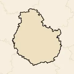 Not enough drawings yet
- Draw
 Côtes-d'Armor9.7% smaller · 81 drawings
- Draw
 Creuse5.9% smaller · 27 drawings
- DrawDeux-Sèvres19 of 25 drawings needed
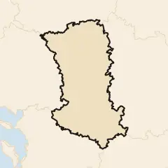 Not enough drawings yet
- DrawDordogne15 of 25 drawings needed
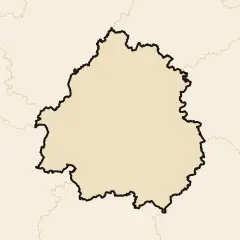 Not enough drawings yet
- DrawDoubs18 of 25 drawings needed
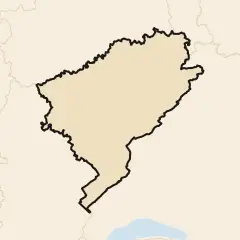 Not enough drawings yet
- DrawDrôme23 of 25 drawings needed
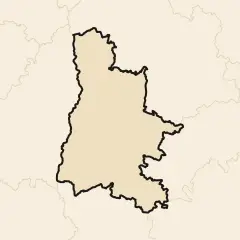 Not enough drawings yet
- DrawEssonne22 of 25 drawings needed
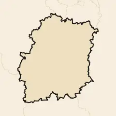 Not enough drawings yet
- DrawEure16 of 25 drawings needed
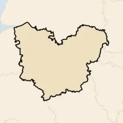 Not enough drawings yet
- DrawEure-et-Loir23 of 25 drawings needed
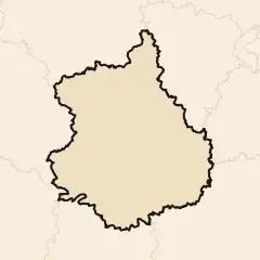 Not enough drawings yet
- Draw
 Finistère6.3% smaller · 81 drawings
- Draw
 Gard18.6% smaller · 69 drawings
- DrawGers21 of 25 drawings needed
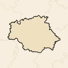 Not enough drawings yet
- Draw
 Gironde10.0% smaller · 74 drawings
- Draw
 Guadeloupe1.9% smaller · 42 drawings
- Draw
 Guyane0.9% smaller · 109 drawings
- Draw
 Haut-Rhin10.4% smaller · 34 drawings
- DrawHaute-Garonne20 of 25 drawings needed
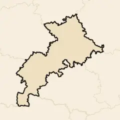 Not enough drawings yet
- DrawHaute-Loire14 of 25 drawings needed
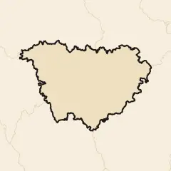 Not enough drawings yet
- DrawHaute-Marne11 of 25 drawings needed
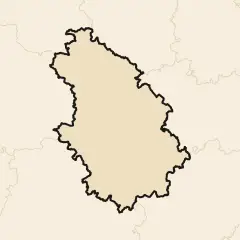 Not enough drawings yet
- DrawHaute-Saône15 of 25 drawings needed
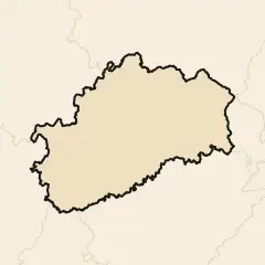 Not enough drawings yet
- Draw
 Haute-Savoie0.7% bigger · 67 drawings
- DrawHaute-Vienne18 of 25 drawings needed
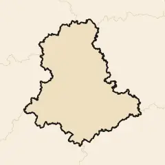 Not enough drawings yet
- DrawHautes-Alpes6 of 25 drawings needed
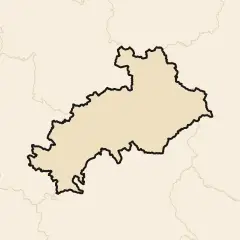 Not enough drawings yet
- DrawHautes-Pyrénées8 of 25 drawings needed
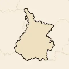 Not enough drawings yet
- DrawHauts-de-Seine22 of 25 drawings needed
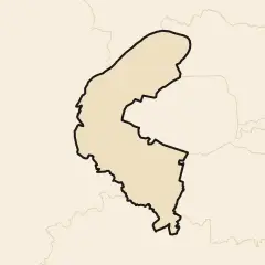 Not enough drawings yet
- Draw
 Hérault5.0% smaller · 97 drawings
- Draw
 Ille-et-Vilaine3.5% smaller · 85 drawings
- DrawIndre17 of 25 drawings needed
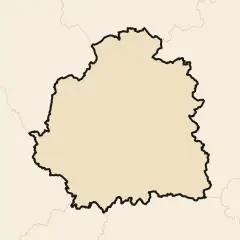 Not enough drawings yet
- Draw
 Indre-et-Loire4.1% bigger · 33 drawings
- DrawIsère24 of 25 drawings needed
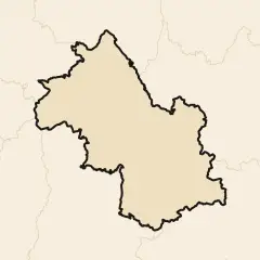 Not enough drawings yet
- DrawJura6 of 25 drawings needed
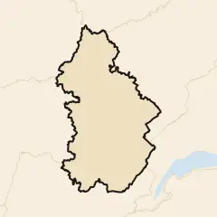 Not enough drawings yet
- Draw
 La Réunion5.9% smaller · 31 drawings
- Draw
 Landes6.4% smaller · 98 drawings
- DrawLoir-et-Cher14 of 25 drawings needed
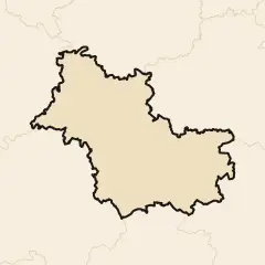 Not enough drawings yet
- Draw
 Loire6.9% smaller · 40 drawings
- Draw
 Loire-Atlantique2.2% smaller · 88 drawings
- DrawLoiret18 of 25 drawings needed
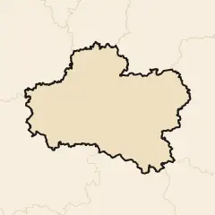 Not enough drawings yet
- DrawLot16 of 25 drawings needed
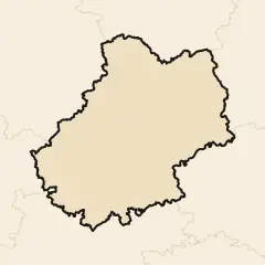 Not enough drawings yet
- DrawLot-et-Garonne20 of 25 drawings needed
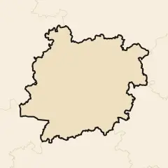 Not enough drawings yet
- DrawLozère10 of 25 drawings needed
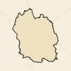 Not enough drawings yet
- DrawMaine-et-Loire24 of 25 drawings needed
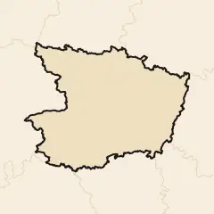 Not enough drawings yet
- Draw
 Manche5.7% smaller · 80 drawings
- DrawMarne10 of 25 drawings needed
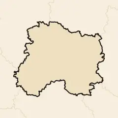 Not enough drawings yet
- Draw
 Martiniquethe same size · 27 drawings
- DrawMayenne23 of 25 drawings needed
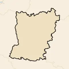 Not enough drawings yet
- Draw
 Mayotte5.1% smaller · 29 drawings
- DrawMeurthe-et-Moselle16 of 25 drawings needed
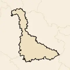 Not enough drawings yet
- DrawMeuse19 of 25 drawings needed
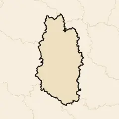 Not enough drawings yet
- Draw
 Morbihan13.2% smaller · 74 drawings
- DrawMoselle16 of 25 drawings needed
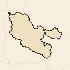 Not enough drawings yet
- DrawNièvre16 of 25 drawings needed
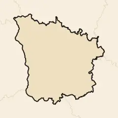 Not enough drawings yet
- Draw
 Nord6.5% smaller · 98 drawings
- DrawOise21 of 25 drawings needed
 Not enough drawings yet
- DrawOrne13 of 25 drawings needed
 Not enough drawings yet
- Draw
 Paris9.2% smaller · 90 drawings
- Draw
 Pas-de-Calais9.9% smaller · 76 drawings
- DrawPuy-de-Dôme20 of 25 drawings needed
 Not enough drawings yet
- Draw
 Pyrénées-Atlantiques8.9% smaller · 81 drawings
- Draw
 Pyrénées-Orientales0.4% smaller · 95 drawings
- Draw
 Rhône9.8% smaller · 26 drawings
- DrawSaône-et-Loire16 of 25 drawings needed
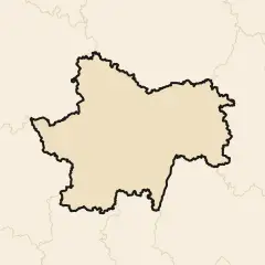 Not enough drawings yet
- Draw
 Sarthe3.9% smaller · 36 drawings
- DrawSavoie20 of 25 drawings needed
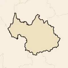 Not enough drawings yet
- DrawSeine-et-Marne17 of 25 drawings needed
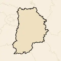 Not enough drawings yet
- Draw
 Seine-Maritime5.4% smaller · 49 drawings
- DrawSeine-Saint-Denis16 of 25 drawings needed
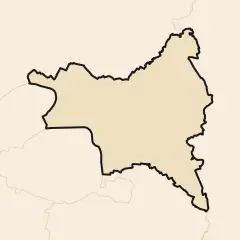 Not enough drawings yet
- Draw
 Somme4.1% smaller · 94 drawings
- DrawTarn21 of 25 drawings needed
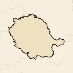 Not enough drawings yet
- DrawTarn-et-Garonne14 of 25 drawings needed
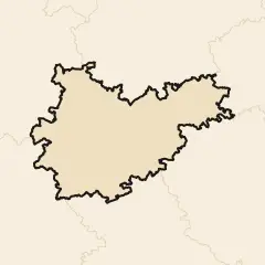 Not enough drawings yet
- DrawTerritoire de Belfort10 of 25 drawings needed
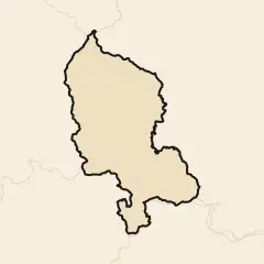 Not enough drawings yet
- DrawVal-d'Oise13 of 25 drawings needed
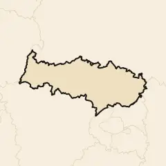 Not enough drawings yet
- DrawVal-de-Marne12 of 25 drawings needed
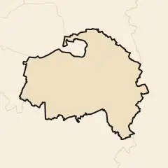 Not enough drawings yet
- Draw
 Var12.9% smaller · 70 drawings
- DrawVaucluse21 of 25 drawings needed
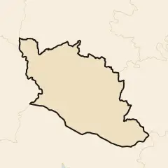 Not enough drawings yet
- Draw
 Vendée11.3% smaller · 49 drawings
- DrawVienne16 of 25 drawings needed
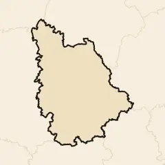 Not enough drawings yet
- DrawVosges13 of 25 drawings needed
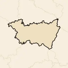 Not enough drawings yet
- DrawYonne24 of 25 drawings needed
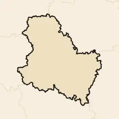 Not enough drawings yet
- DrawYvelines18 of 25 drawings needed
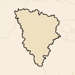 Not enough drawings yet
How it is measured
The crowd’s France: every few km along the real line, each drawing’s nearest point, inside France or outside it; the median over a short stretch is where the crowd puts the line there, and the real outline moved by it is the crowd’s. Where the move folds a narrow inlet over itself, the loop is cut.
The 2,194 drawings that scored 10 or more on Borderline’s World map, scribbles left out, the real line the game’s own. Area true to scale; the outline copies the real line’s detail, so its length changes only where the shape moves or a loop is cut. The map lays the 1,000 most recent; the heat map, the crowd’s shape and every figure use all 2,194.
8 small pieces of France, 455 km² in all, keep their real shape, shown flat: islands no round asks players to draw, or too small to measure. They count in no figure.
Pieces the World map does not ask for are measured from the rounds that do: Guadeloupe (42 drawings), Martinique (27 drawings), French Guiana (875 drawings), La Réunion (31 drawings), Mayotte (29 drawings).
Draw France yourself and add your line to the next update.